
Find Paul on: LinkedIn
-
Area of expertise
Remote Sensing, Image Processing and GIS analysis, UAV Pilot
-
Years of experience
15+
-
Highest qualification
MSc
Paul Brown is a Remote Sensing Scientist with over 10 years’ experience and is the lead for GIS, remote sensing and unmanned aircraft systems (UAS) operations at Fera. Paul has an extensive range of experience in Remote Sensing, Image Processing and GIS analysis, specialising in the use of multiple sensor and platform technology.
Paul has led, collaborated and contributed to an assortment of projects including; UAS tree species classification and health analysis, spectral potato virus research, agricultural land cover mapping and international projects in China, India and Mozambique. Prior to joining Fera in early 2014, Paul worked for Airbus Defence & Space, gaining a wealth of consultancy experience from a broad variety of Remote Sensing and GIS projects with a wide range of customers.
More about remote sensing and mapping
Whether you need to survey land to monitor crop health or yields, identify tree species, assess vegetation cover, or map large sites to determine ground conditions and resource availability, our Remote Sensing and Geographical Information Systems (GIS) scientists can use cutting-edge UAV and sensor technology to supply all the imagery and analysis you need.
Latest Papers and Articles
Brown, P. A and Butler, L. (2016) UAV for automated crop count. The Journal of the Institute of Food Science and Technology. http://www.fstjournal.org/features/uav-automated-crop-count
Events past and future
16th May 2017: ESRI UK Annual Conference Speaker

Paul and their team work with customers to deliver the following services within Fera...
Remote Sensing, Image Processing and GIS analysis

Remote Sensing & Mapping
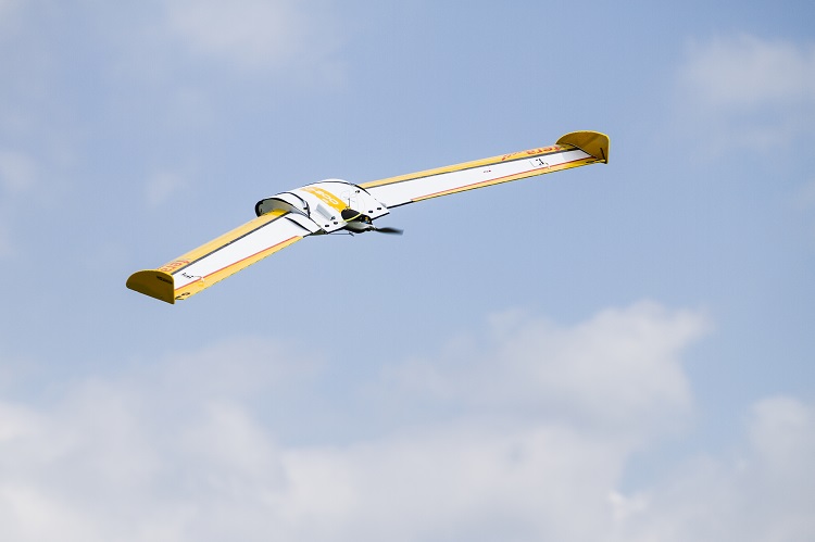
If you need to survey an area of land for development, crop or vegetation monitoring, land condition assessment or any other spatial or mapping study – you can save considerable time, money & resources with Fera’s Unmanned Aerial Vehicle (UAV) services.

Economics
We help societies to become more resilient or achieve the three pillars of sustainability through combining bottom and top-down decision making approaches under rapid socio-economic changes. Fera can help you to understand the likely impacts and cost-effectiveness of your decisions and actions, so you can make well-informed choices on how to deploy the economic resources available.

Environmental Planning & Policy
Fera is in a unique position to combine academic research, big data, forecasting models and information from a host of sources to inform practical environmental solutions and policy decisions across the public and private sector.
Latest Papers and Articles
Brown, P. A and Butler, L. (2016) UAV for automated crop count. The Journal of the Institute of Food Science and Technology. http://www.fstjournal.org/features/uav-automated-crop-count
Events past and future
16th May 2017: ESRI UK Annual Conference Speaker
Paul and their team work with customers to deliver the following services within Fera...
Remote Sensing, Image Processing and GIS analysis
Remote Sensing & Mapping
If you need to survey an area of land for development, crop or vegetation monitoring, land condition assessment or any other spatial or mapping study – you can save considerable time, money & resources with Fera’s Unmanned Aerial Vehicle (UAV) services.
Economics
We help societies to become more resilient or achieve the three pillars of sustainability through combining bottom and top-down decision making approaches under rapid socio-economic changes. Fera can help you to understand the likely impacts and cost-effectiveness of your decisions and actions, so you can make well-informed choices on how to deploy the economic resources available.
Environmental Planning & Policy
Fera is in a unique position to combine academic research, big data, forecasting models and information from a host of sources to inform practical environmental solutions and policy decisions across the public and private sector.